The Met Office have issued a yellow weather warning for South West England between 12:00 and 23:59 on Tuesday 14 January 2020 with strong winds approaching.
The impending storm Brendan has been brewing for a few days out in the Atlantic and is expected to hit the British Isles tomorrow.
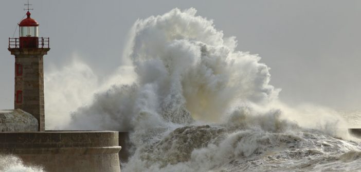
As strong winds approach, there may be several disruptions and may not only affect your journeys. You most likely can expect some delays on roads, rail, air and ferry transport. Some delays for high-sided vehicles on exposed routes and bridges are likely. It’s likely for some coastal routes, sea fronts and coastal communities to be affected by spray and large waves, along with a possibility of some short term loss of power and other services.
To find out what you should do click here.
Gusts of 40 to 50 mph are expected quite widely inland, with exposed coasts and hills having gusts of around 60 mph. Heavy rains may be an additional hazard in places. However winds will ease from the west during Tuesday night.
To view full warning details and map view click here.


